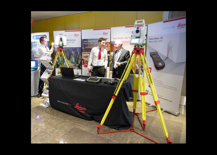
With the awareness and adoption of Building Information Modelling (BIM) gathering pace in Ireland, CitA once again held a ‘BIM Gathering’ in Dublin. The event supported by industry partners such as Leica Geosystems attracted speakers and attendees from around the globe.
The two day event was headed by several keynote addresses by respected experts in the fields of architecture, construction and technology. These included Professor David Philp from the UK BIM Task Group and Dr William East pioneer of the COBie data format.
Throughout the event, a number of breakout sessions looking at various aspects on BIM featured. Leica Geosystems Mark King, BIM Technical Consultant EMEA, delivered a very interesting session discussing ‘Capturing reality on the move’.
One common theme throughout was that of 3D Laser Scanning and its use within BIM. Dr Frederic Bosche from Herriott Watt University presented on ‘The value of 3D laser scanning in the age of BIM’ covering techniques that utilise point clouds to analyse surface flatness.
Leica Geosystems provides support to CitA and all of its events throughout the year. During the BIM Gathering, Mark King, BIM technical consultant for Leica Geosystems presented on the benefits of Leica’s reality capture solutions for BIM. Covering workflow improvements in how large scan data files can be shared more efficiently than ever before through Leica’s new JetStream solution. Scan data can now be centralised onto a server and accessed over a standard network.
This allows multiple users using CAD or BIM software like AutoCAD, Revit or Microstation to access the centralised scan data simultaneously with no need for individual local copies of the point clouds. This along with a drastic improvement in the performance of visualising the point cloud is helping companies to manage their point clouds more efficiently while speeding up the modelling process.
Revolutionising the world of measurement and survey for nearly 200 years, Leica Geosystems creates complete solutions for professionals across the world. Known for premium products and innovative solution development, professionals in a diverse mix of industries, such as aerospace and defence, safety and security, construction, and manufacturing, trust Leica Geosystems for all their geospatial needs. With precise and accurate instruments, sophisticated software, and dependable services, Leica Geosystems delivers value every day to those shaping the future of our world.
Leica Geosystems is a brand within Hexagon Geosystems, the complete reality-capture solutions provider. With a sharp focus on information technologies that capture, measure, and visualise data, Hexagon Geosystems’ high-quality products and solutions create real digital worlds.
Leica Geosystems’ Distribution Partner in Ireland is Survey Instrument Services (SIS). SIS has grown the HDS (High Definition Surveying) industry in Ireland from a handful of innovative specialist companies testing Leica Geosystems scanners, to a majority of users who now seek to cut project lead times and design processes by adapting existing work-flows to suit a multitude of industrial, heritage, surveying, retrofitting, facilities management, and BIM applications.
SIS has a dedicated team with the training and expertise required to deal with this new technology. The company was the first to offer HDS technologies in Ireland and can advise on the entire HDS work-flow.
The contents of this site are subject to copyright laws and may not be reproduced in any form without the prior consent of the publishers. The views expressed in articles do not necessarily represent those of the publishers.


